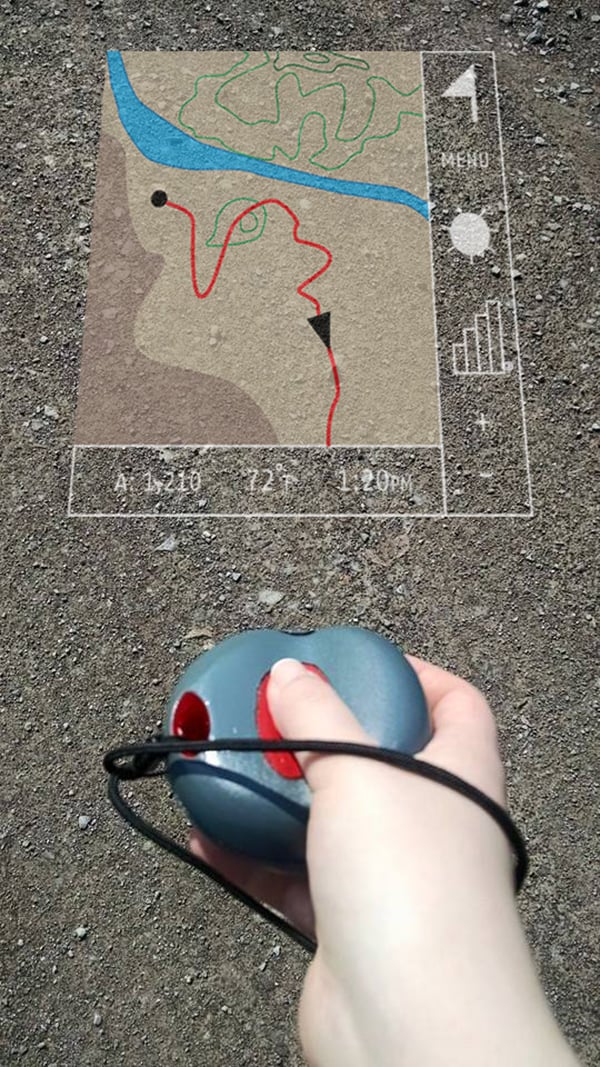
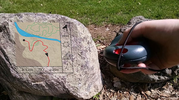
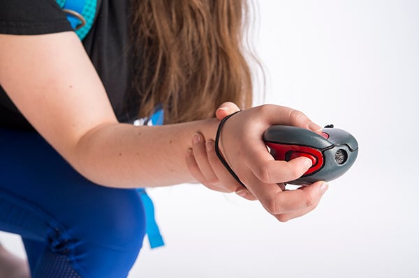
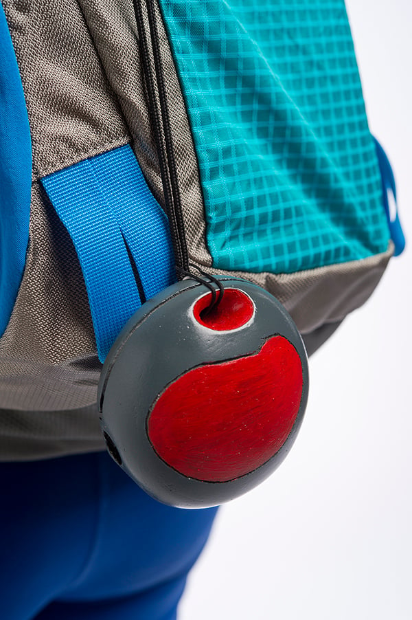
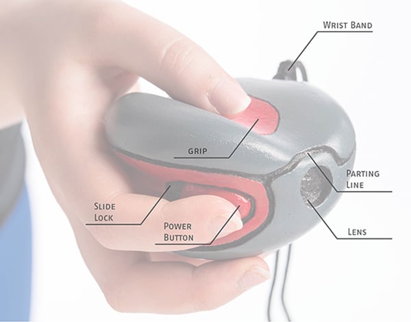
Because of the great area they must cover on foot, hikers often find the screens of traditional hiking GPS devices too small to properly navigate terrain. As you might’ve guessed from the name, the Project Hiking GPS aims to solve this problem with a projected map instead of permanent screen. Simply aim and point on any surface like rocks, trees or the ground to see an enhanced, larger map that can be color adjusted for easy viewing. Ergonomically shaped to fit the hand, it’s also rugged and durable for tough outdoor use.
Designer: Erin Glaberson
